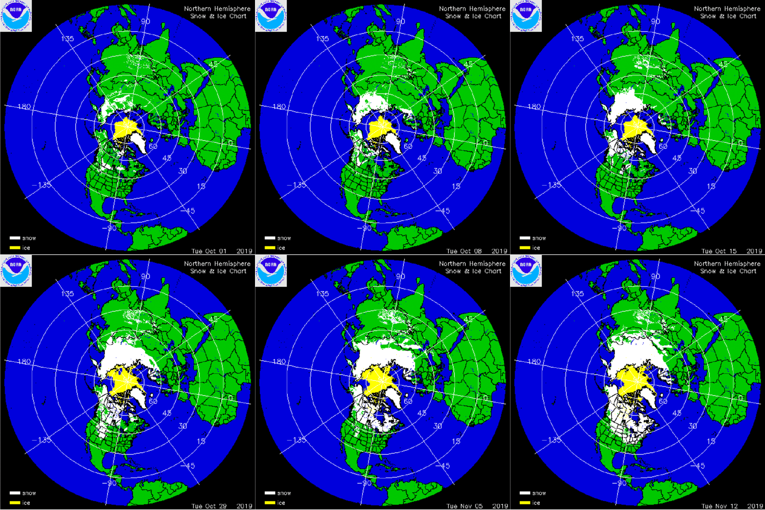
The image is an animation of IMS Snow and Ice charts for NH, starting October 1 to November 12, 2019 in weekly increments. Note how the white area was sparce to begin and then grew from a weekly area of 9M km2 to 23.5M km2 through the month of October. As shown in the graph from Rutgers Global Snow Lab (GSL), the October 2019 monthly average of 22.3 M km2 is the fith highest in their record.
October 2019 was 4.7M km2 above the mean October area of 17.5 M km2. That ranks fifth out of 52 years; along with 2014 and 2016 making three of the highest snow cover years out of the last six! (OMG.) As Dr. Judah Cohen has observed, Siberian October coverage is a significant factor in forecasting coming winter conditions. Dr. Cohen explains the mechanism in this diagram.

See Also Snowing and Freezing in the…
View original post 1 more word

